Our Services

Drone Tech Without the Jargon.

At Suave Droning, we simplify data, mapping, and monitoring so you can focus on what matters—your goals.

Keep Track of Your
Projects from Above

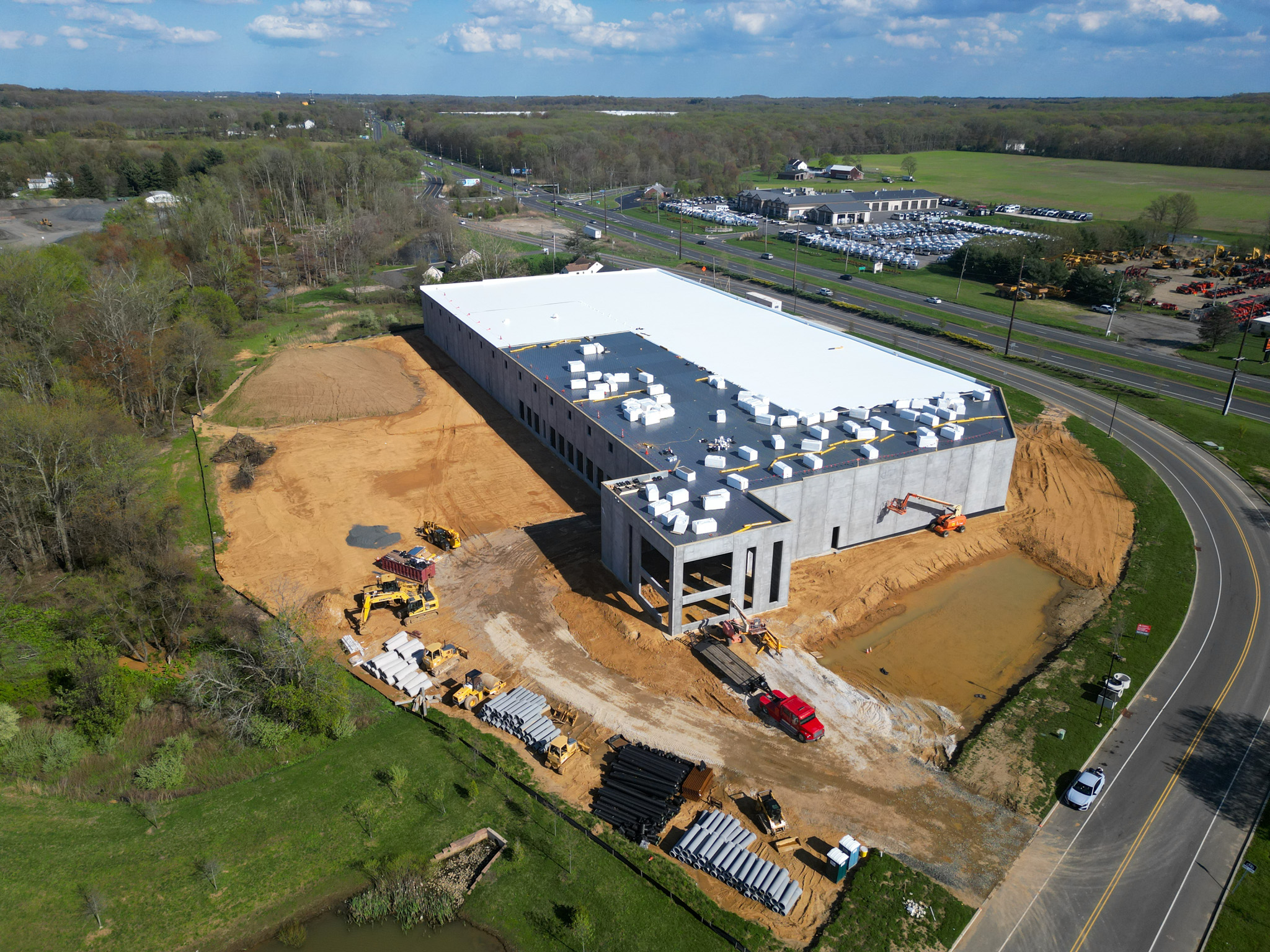
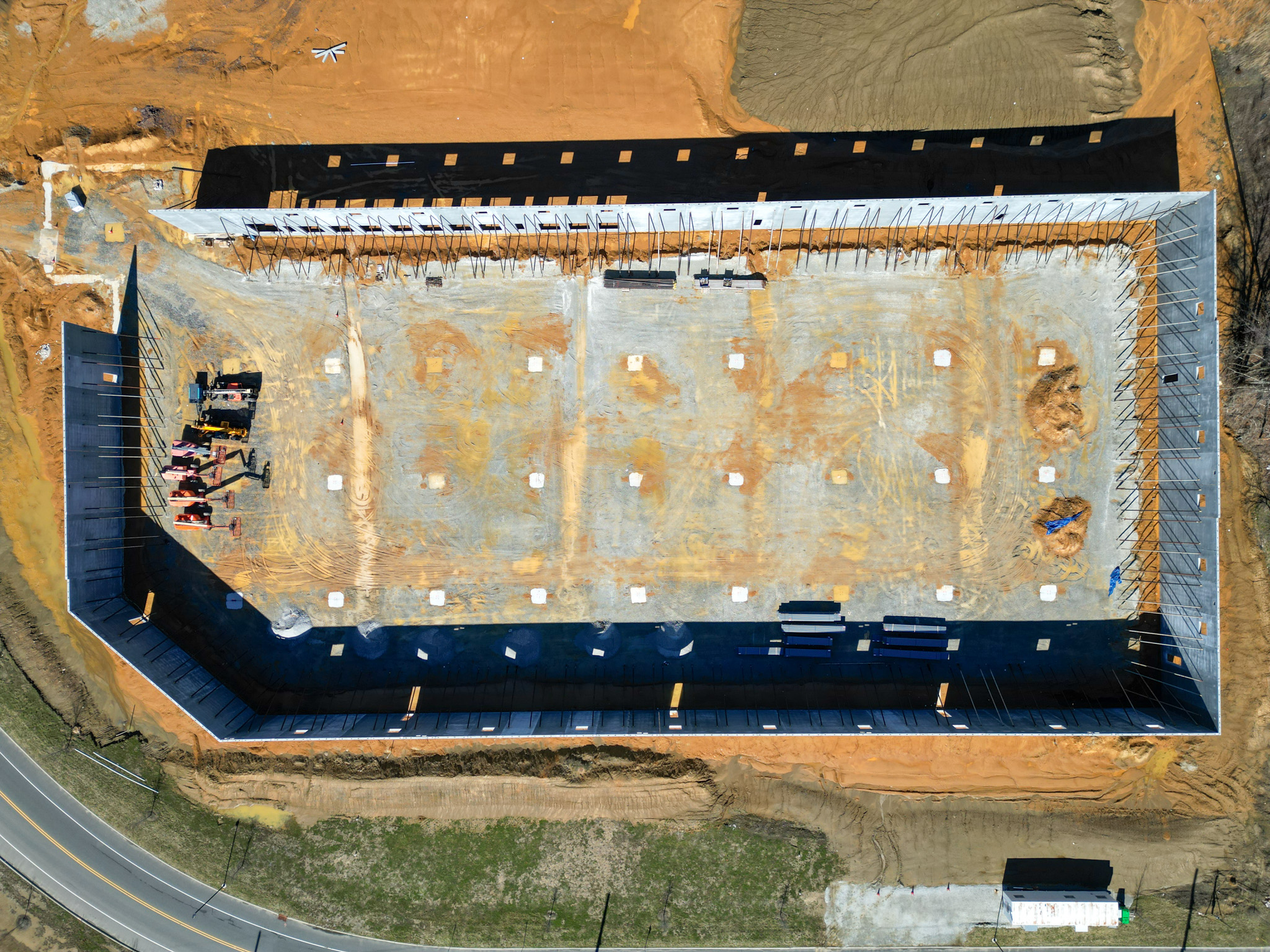
Our construction monitoring services provide up-to-date aerial views of your site, making it easy to track progress, identify potential issues, and keep stakeholders informed. With regular drone flights, we capture detailed images and videos that offer a real-time perspective on every stage of construction. From site prep to final inspection, our monitoring helps you make faster, more informed decisions to keep your project running smoothly.
Mapping & Surveying

No Drones? No Problem.

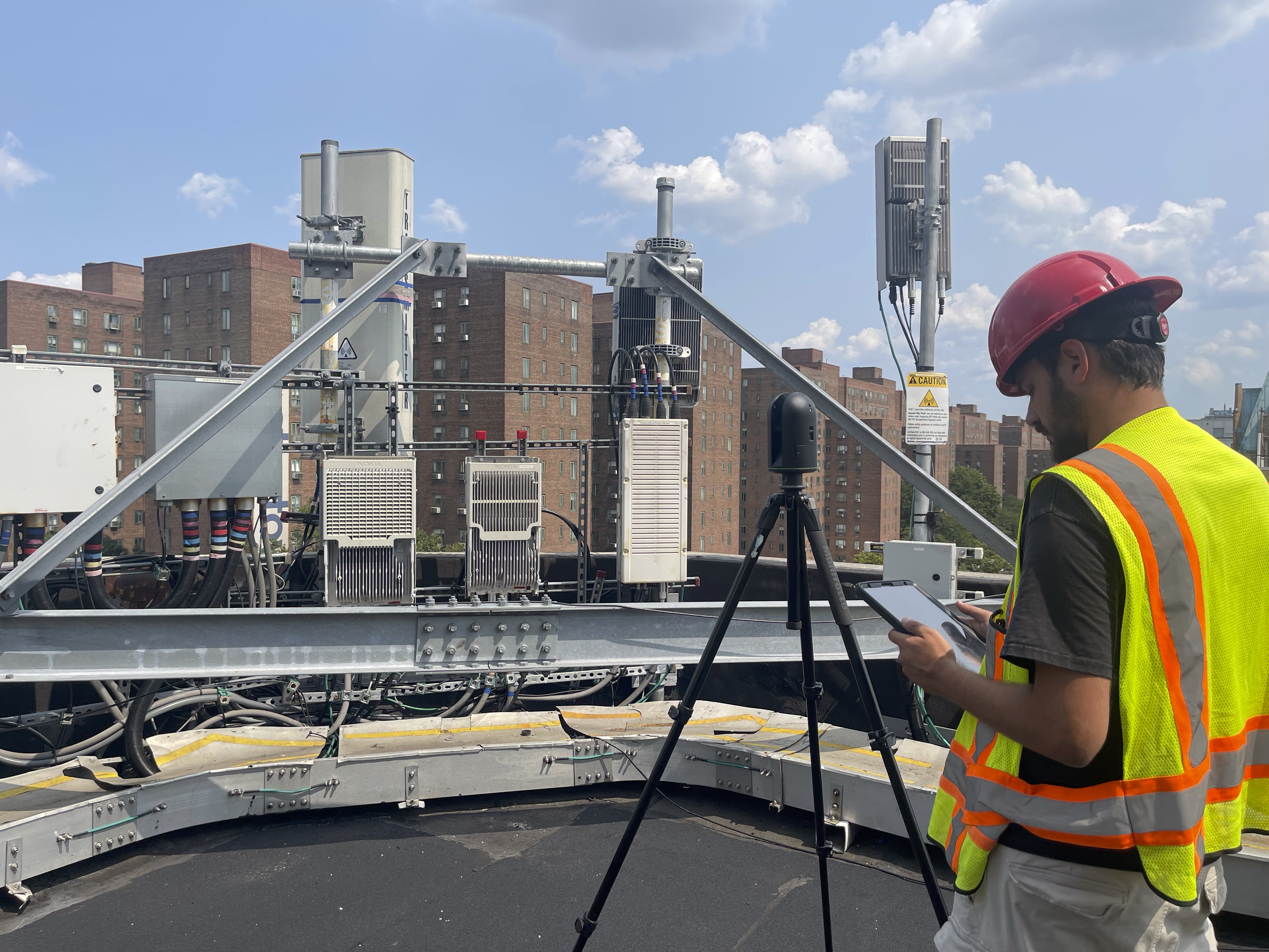
In areas where drones aren’t permitted, like Manhattan, we use ground-based LiDAR technology to capture detailed roof data and site information. This allows us to provide high-quality mapping without aerial access, giving you the insights you need —no matter the restrictions.

LiDAR Technology

Need Precise Measurements to Keep Your Project on Track?

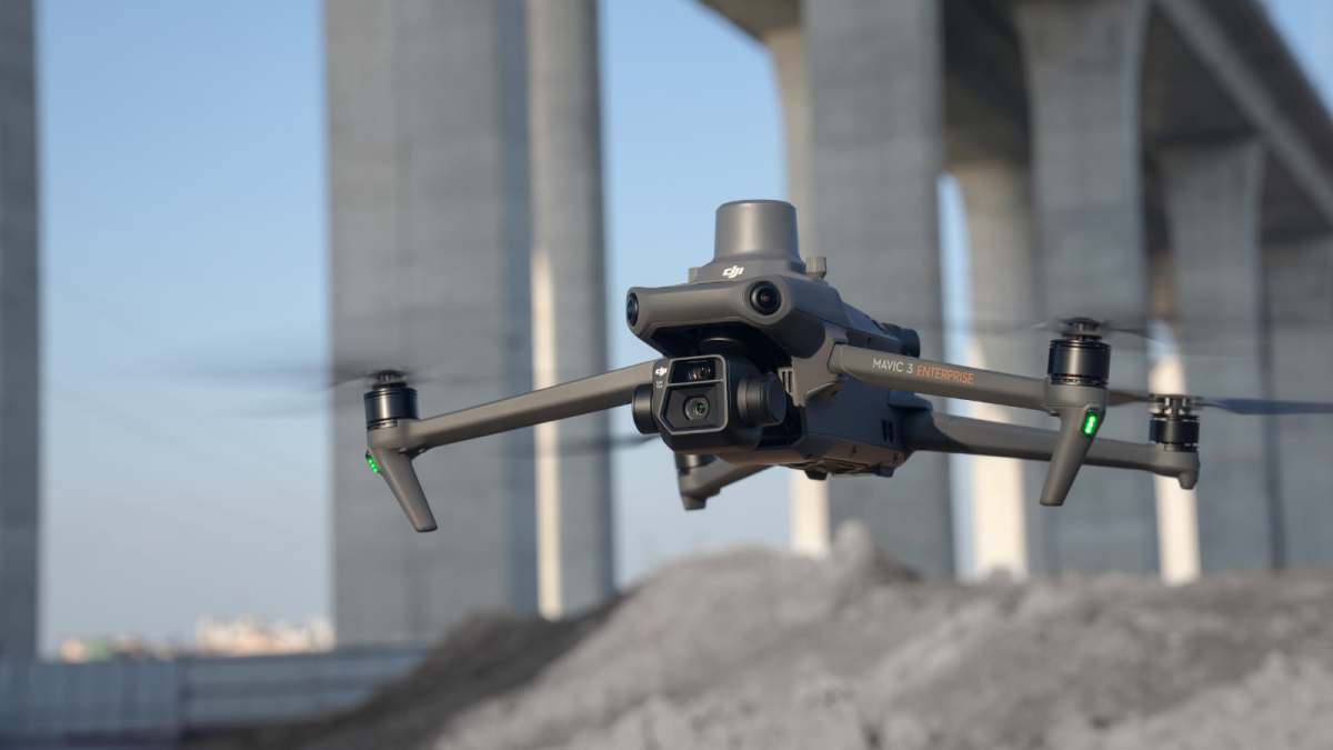
Our RTK-equipped Mavic 3T provides centimeter-level accuracy, perfect for monitoring site changes, planning layouts, and mapping terrain. We capture the data you need to make confident decisions.

Thermal Imaging: See Beyond the Surface

Using cutting-edge technology, our thermal imaging services help you detect hidden issues that can't be seen by the naked eye. Using the Mavic 3T, our aerial thermal imaging services reveal temperature variations across large areas and hard-to-reach places, making it ideal for building inspections, HVAC assessments, and energy audits. With this technology, we help you identify heat loss, moisture buildup, and other issues that may not be visible from ground level.

Our aerial perspective provides clear, high-quality thermal data, giving you a comprehensive view that supports proactive maintenance, safety checks, and energy efficiency improvements. Whether you’re assessing a roof’s insulation or inspecting critical infrastructure, our Mavic 3T thermal imaging offers the insights you need—all from above.

Aerial Photography & Videography

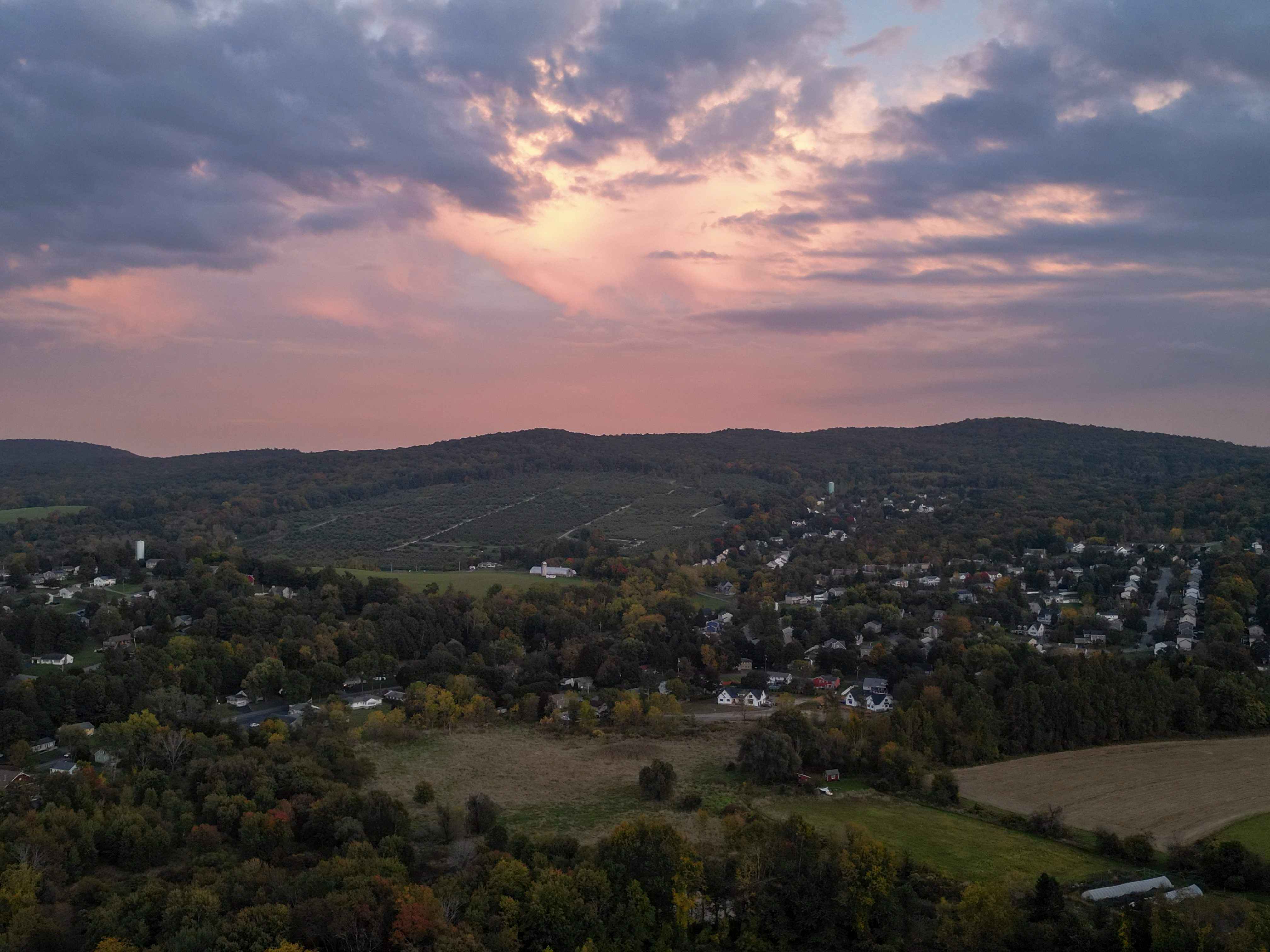
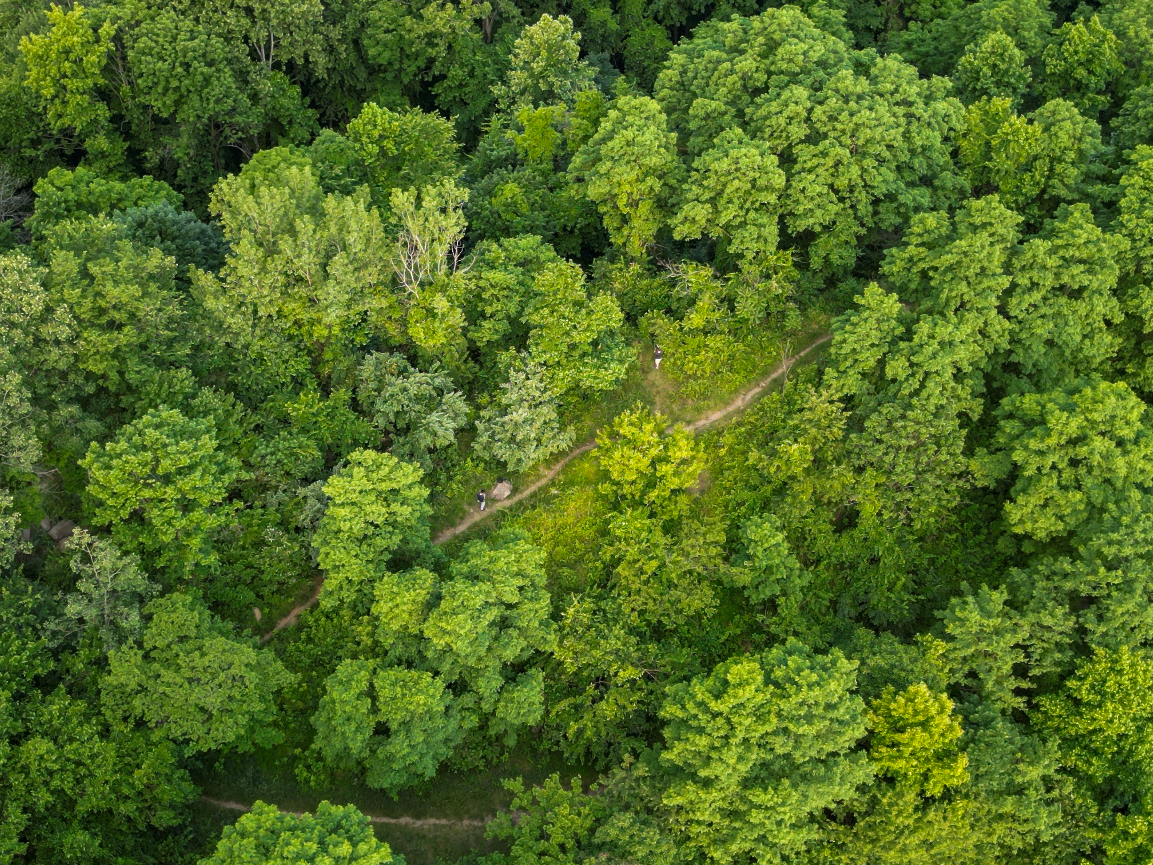
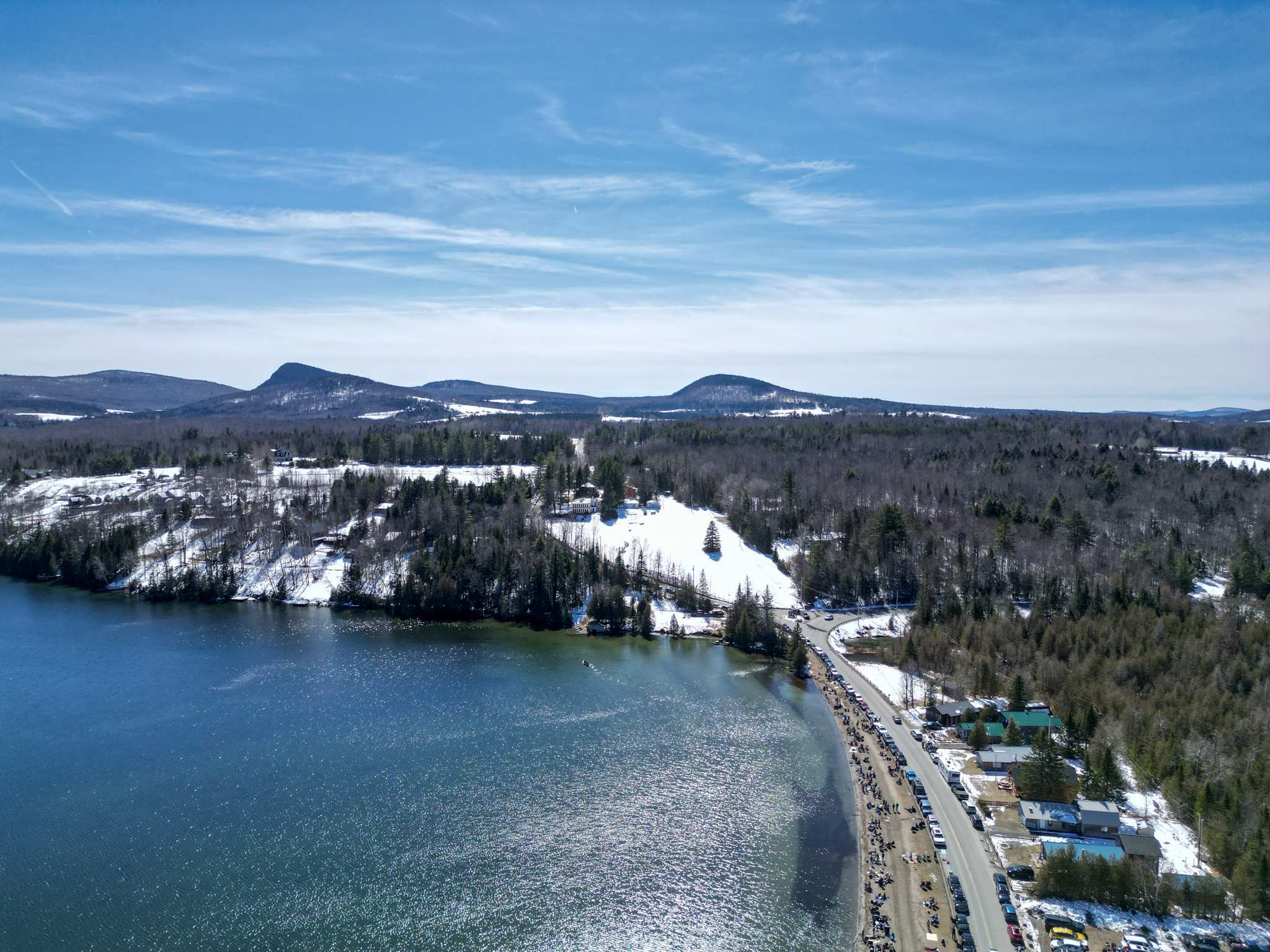
From sweeping landscapes to detailed close-ups, our aerial photography and videography capture breathtaking visuals that elevate any project. Showcasing your property, project site, or special event, we bring a fresh perspective to help your vision stand out.

Get in Touch

Ready to take your project to new heights? Contact us directly—our certified drone and LiDAR experts are committed to delivering hands-on, personalized solutions that meet your unique needs.

Request a Quote >>